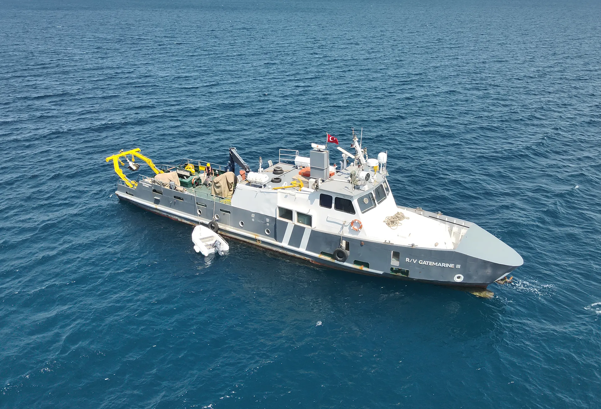
GateMarine considers marine survey and subsea survey operations as fundamental engineering inputs for all subsea cable projects. Accurate and reliable survey data is essential for route selection, installation methodology, subsea joint location planning, and cable protection design.
Survey activities include evaluation of seabed morphology, soil conditions, existing subsea infrastructure, and interpretation of geophysical and hydrographic data. These outputs directly support both new subsea cable installation projects and maintenance or repair operations.
GateMarine coordinates survey operations in alignment with offshore operational requirements, environmental conditions, and project objectives, ensuring that survey outputs are practical, accurate, and engineering-driven.
GateMarine delivers comprehensive subsea cable survey services using an integrated engineering approach. Seabed mapping and survey activities provide critical inputs for route optimization, burial design, installation planning, and long-term cable system performance.
All survey operations begin with detailed desktop studies, followed by offshore data acquisition and engineering-driven evaluation.
Desktop Study represents the initial phase of all subsea cable survey and offshore operations. Existing technical documentation, historical survey data, nautical charts, bathymetric information, environmental constraints, and known subsea infrastructure are reviewed and analyzed.
GateMarine uses Desktop Study outputs to define survey scope, select appropriate equipment and methodologies, and optimize offshore operation planning, enabling early risk identification and safe execution.
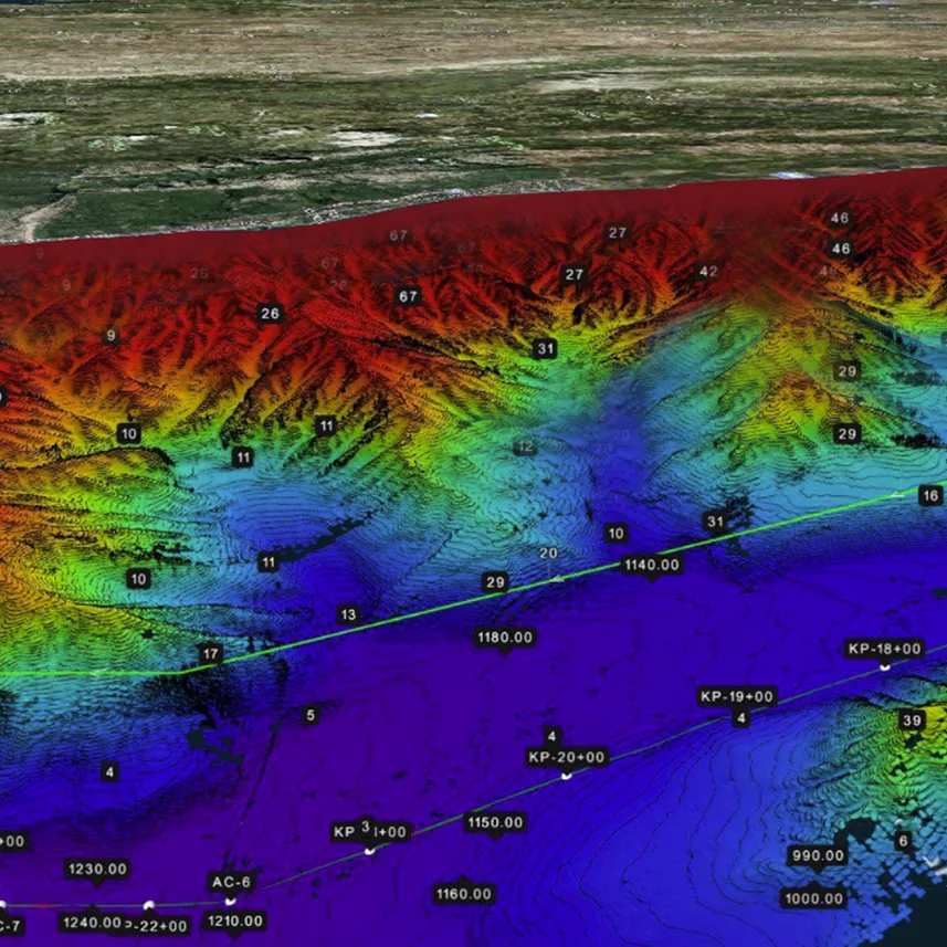
Geophysical surveys focus on detailed assessment of seabed and sub-seabed structures, including soil characteristics, sediment thickness, and geological discontinuities.
Survey results support subsea cable route selection, burial depth determination, and long-term cable stability assessments.
Environmental surveys are conducted to assess potential environmental impacts of subsea cable projects and to evaluate site-specific environmental conditions.
GateMarine performs environmental assessments using the following measurement and observation systems:
The collected environmental data is used for:
GateMarine applies internationally accepted environmental survey standards to ensure safe, compliant, and environmentally responsible submarine cable operations.
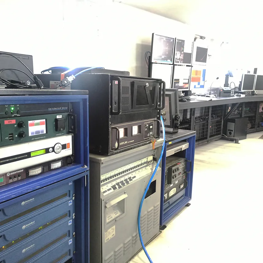
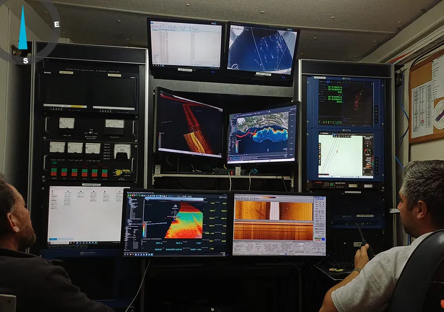
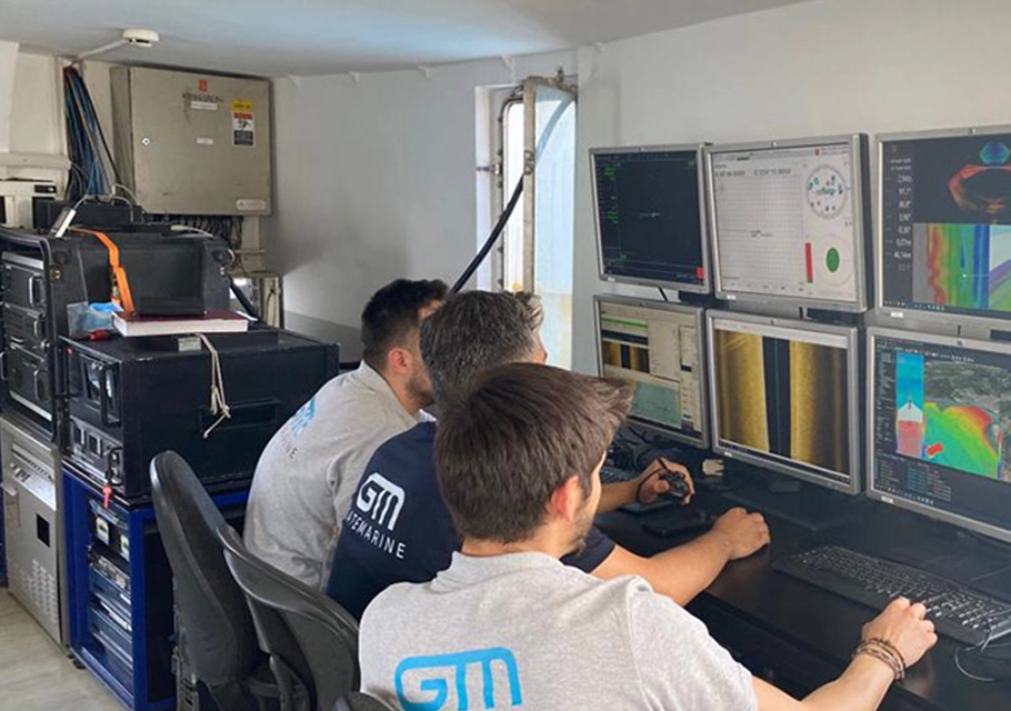
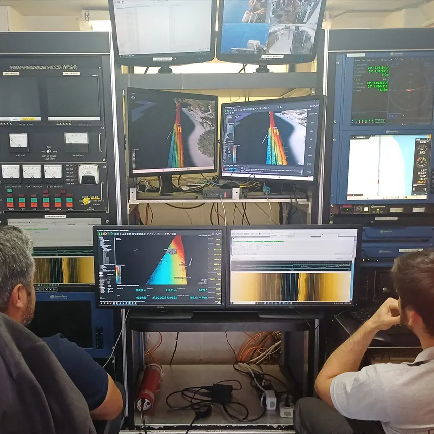
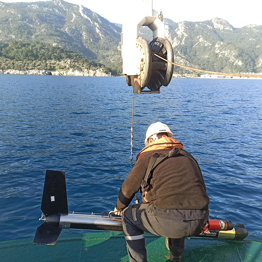
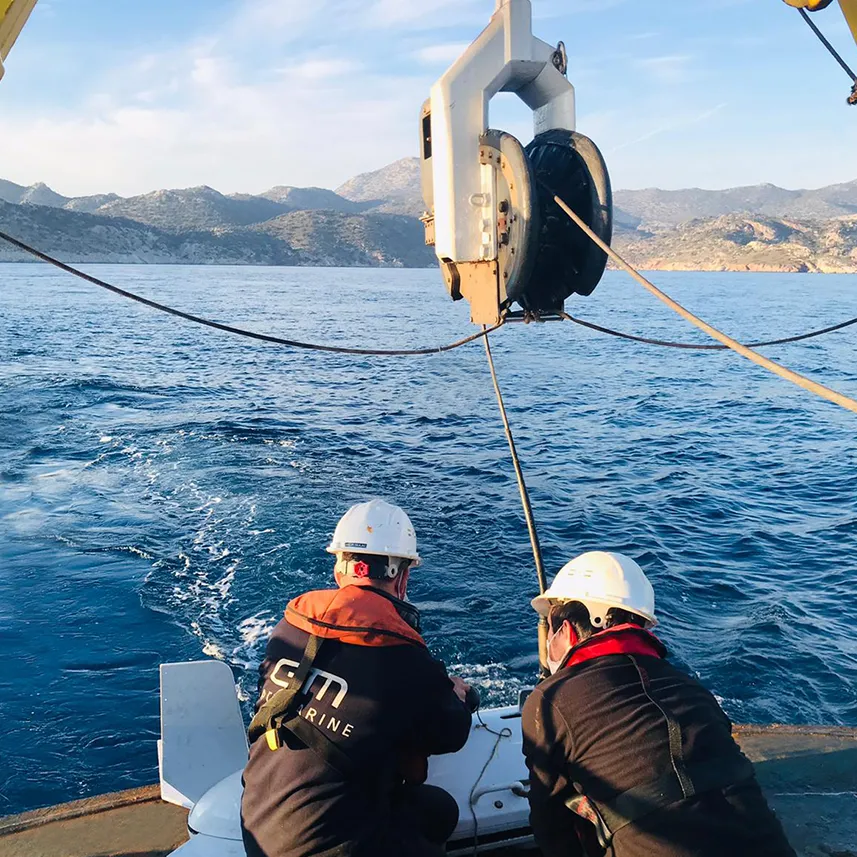
Hydrographic surveys determine seabed geometry, water depths, and bathymetric features with high accuracy.
GateMarine hydrographic surveys utilize:
to support safe subsea cable routing and offshore operational accuracy.
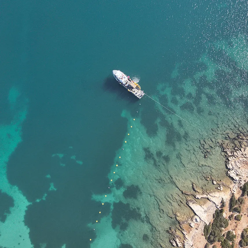
Route surveys involve a comprehensive evaluation of the planned subsea cable route from technical, environmental, and operational perspectives.
Route survey outputs are used for:
enabling project-specific installation and protection strategies.
As-built surveys are performed after cable installation or maintenance operations to verify the final position, geometry, and condition of the subsea cable.
These surveys support project close-out documentation, long-term maintenance planning, and future intervention strategies.
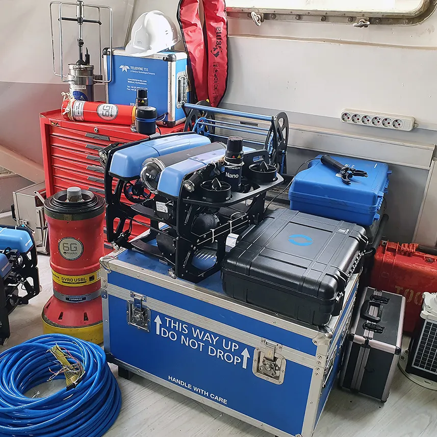
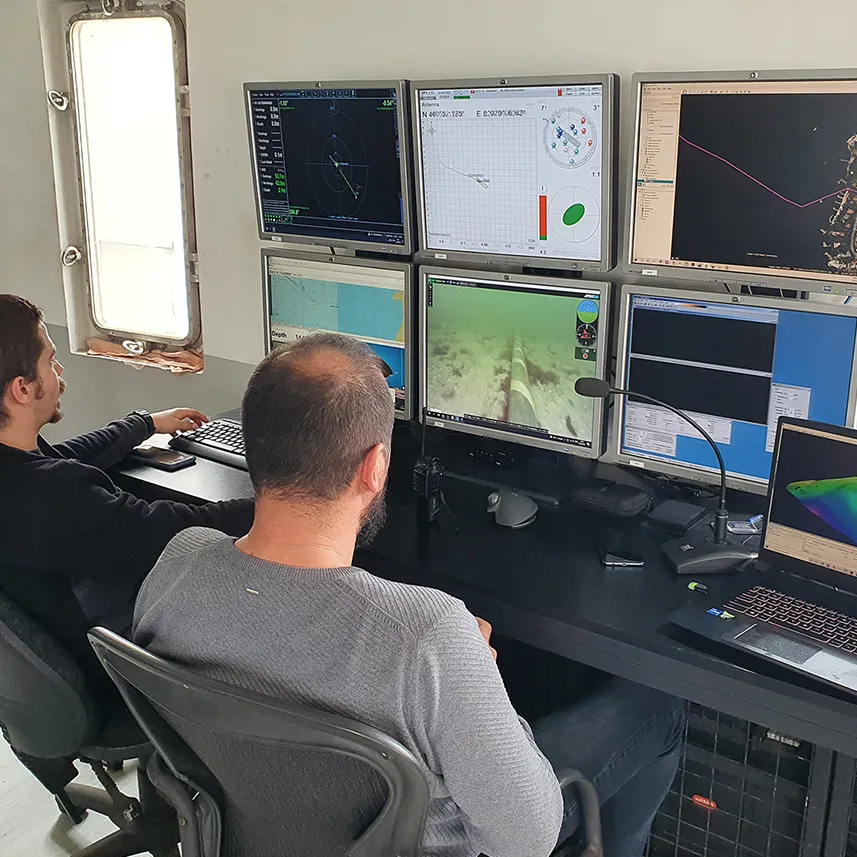
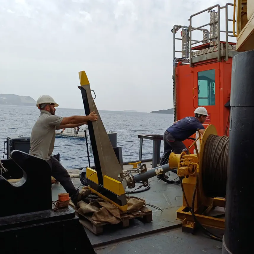
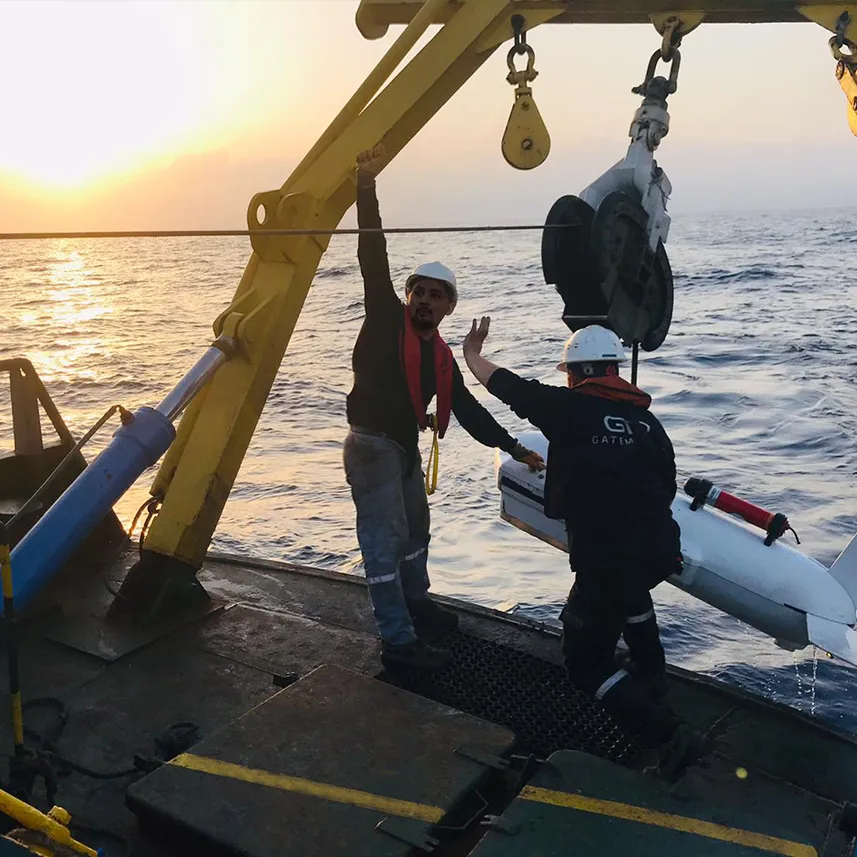
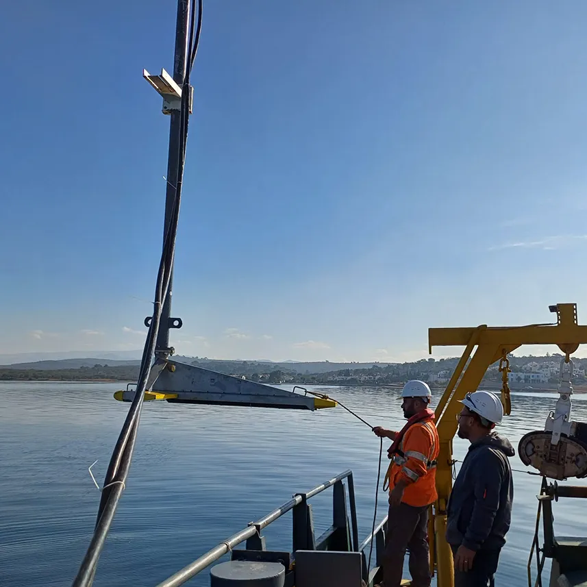
ROV surveys utilize remotely operated vehicles to conduct visual and sensor-based inspections of subsea cable routes, joints, and protection systems.
GateMarine ROV survey capabilities include:
ROV surveys provide high-resolution data for cable condition assessment, pre-repair inspections, and post-installation verification.
Engineering-driven services for subsea cable installation, marine survey and offshore operations.
We provide reliable solutions with our expert team for submarine cable projects.
Gate Marine - Copyright 2026. All rights reserved.